Barometer Mt.

Date Hiked: 20 September 2023
Distance: ~3.2 miles
Elevation: ~2,400 ft
Difficulty: Hard
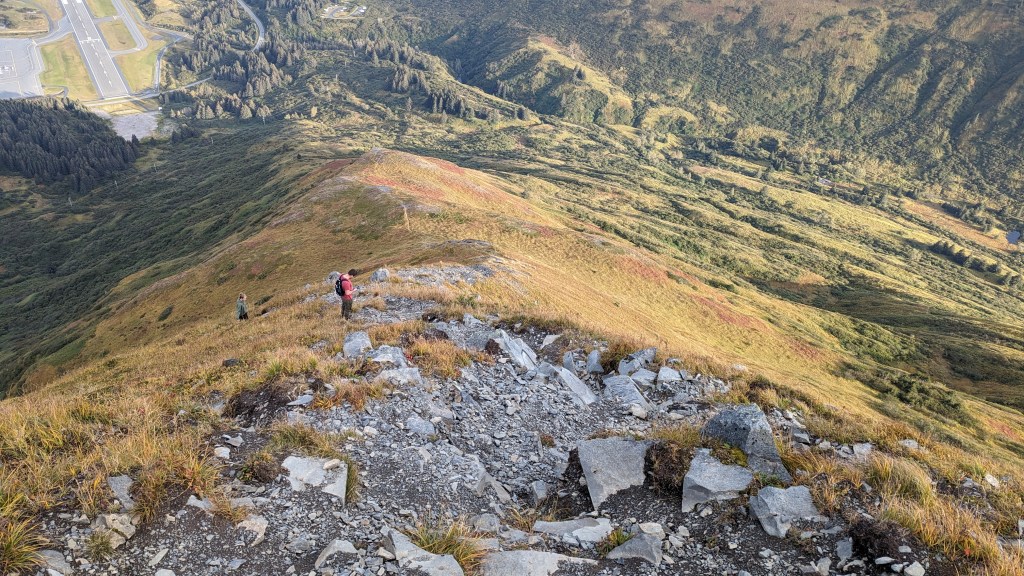
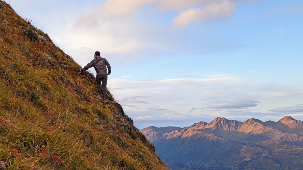
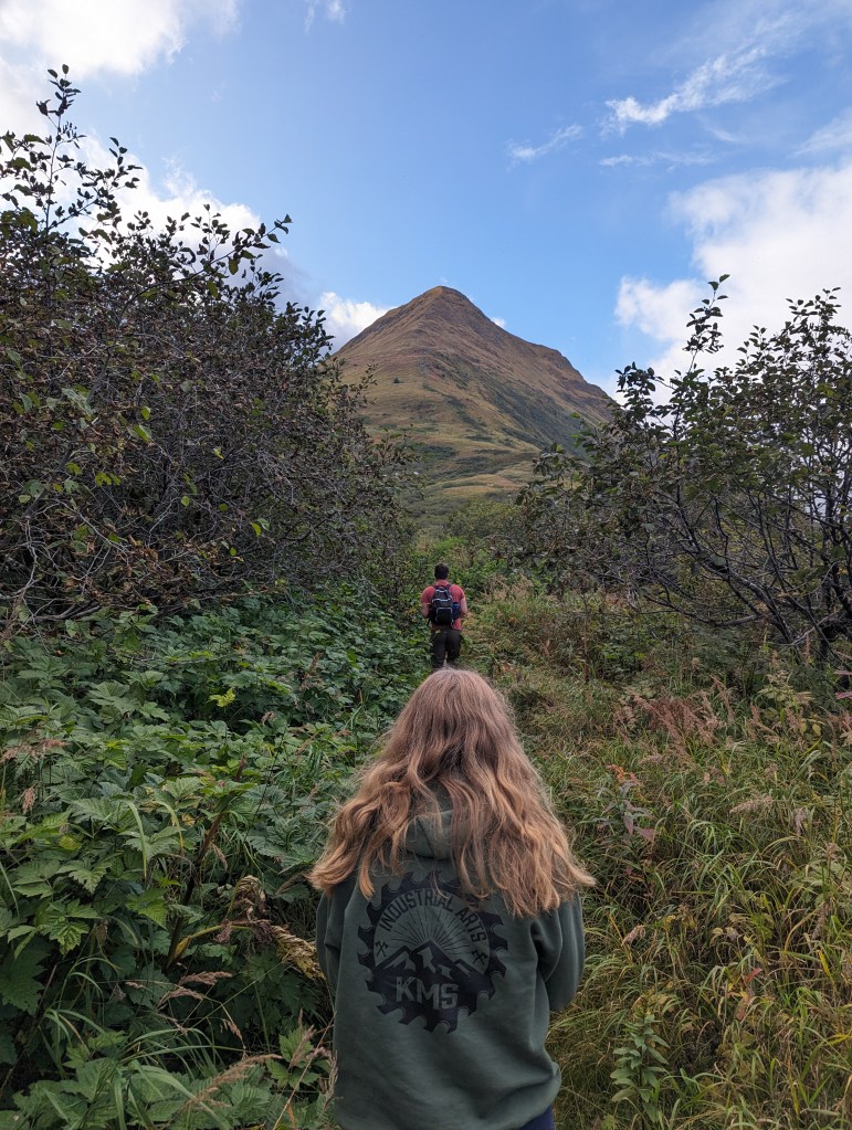
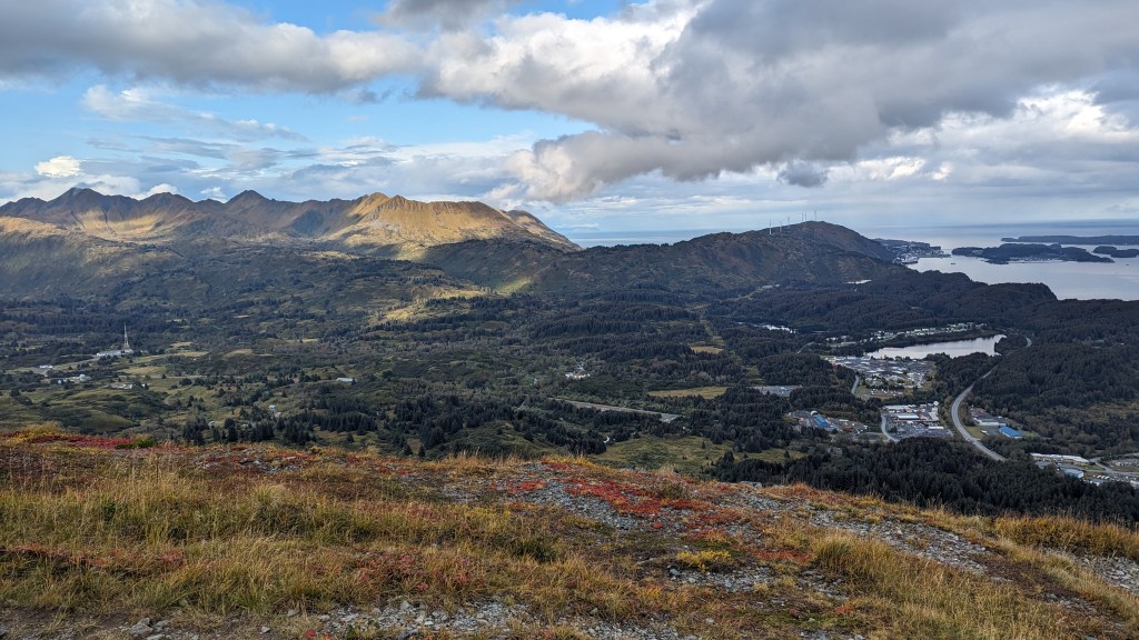
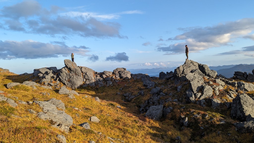
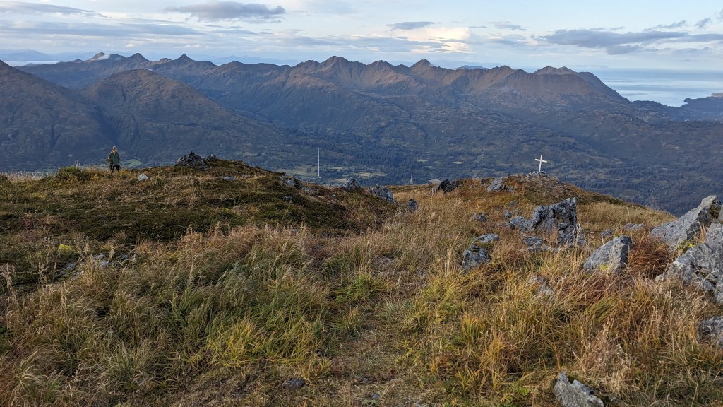
Features: Peak, steep incline the entire way, mild bushwacking in the beginning, view of the airport, small sections of rock scramble.
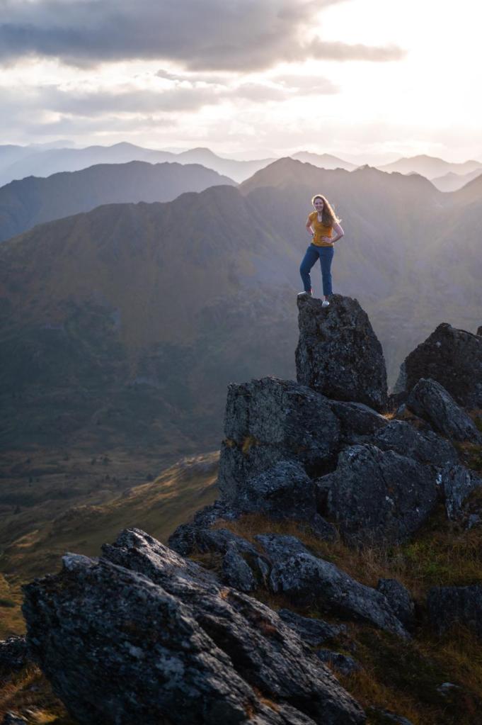
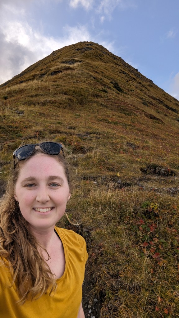
Description: Barometer Mt. is named because it apparently tells the weather: when barometer is covered in clouds it is going to rain! The elevation actually ended up being 2,918 ft and 4.16 miles because I went down into the saddle between Barometer and Little Barometer Mt. Before I hiked it, it felt like Barometer Mt. was mocking me every time I drove to work every day and the massive, stunning mountain it filled the road, so I had to summit it.
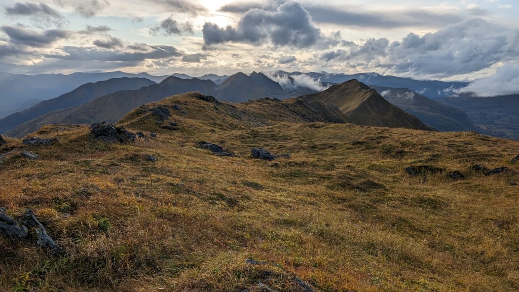
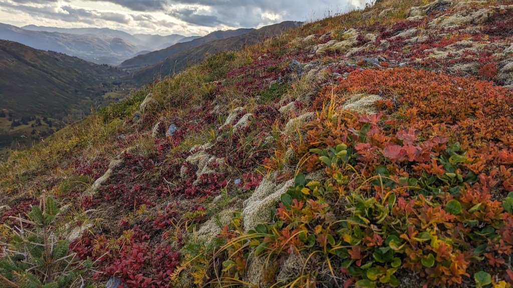
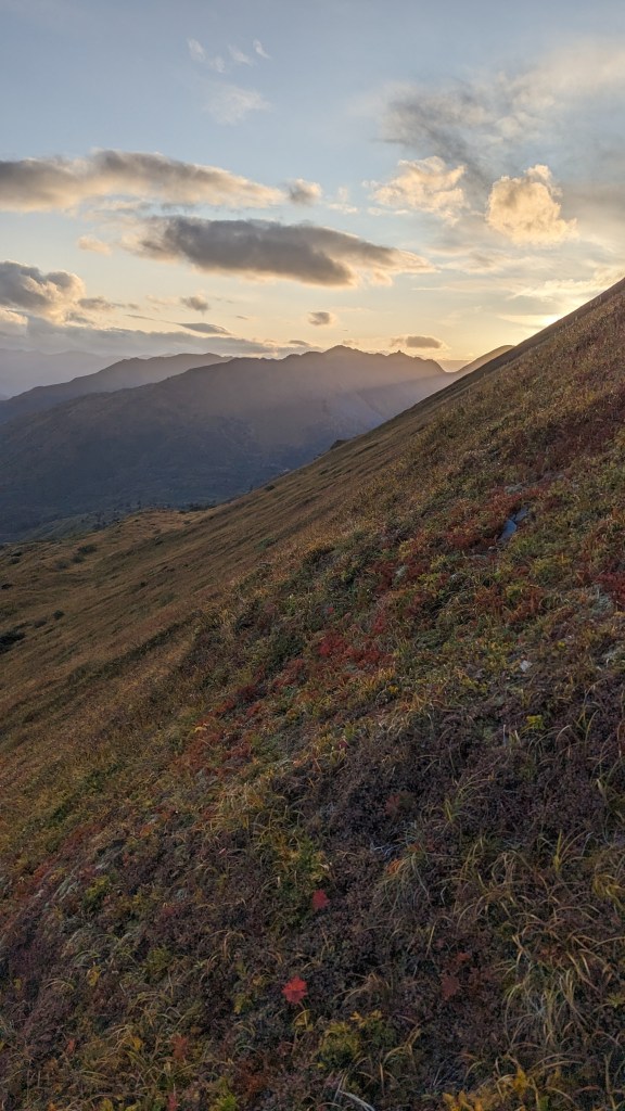
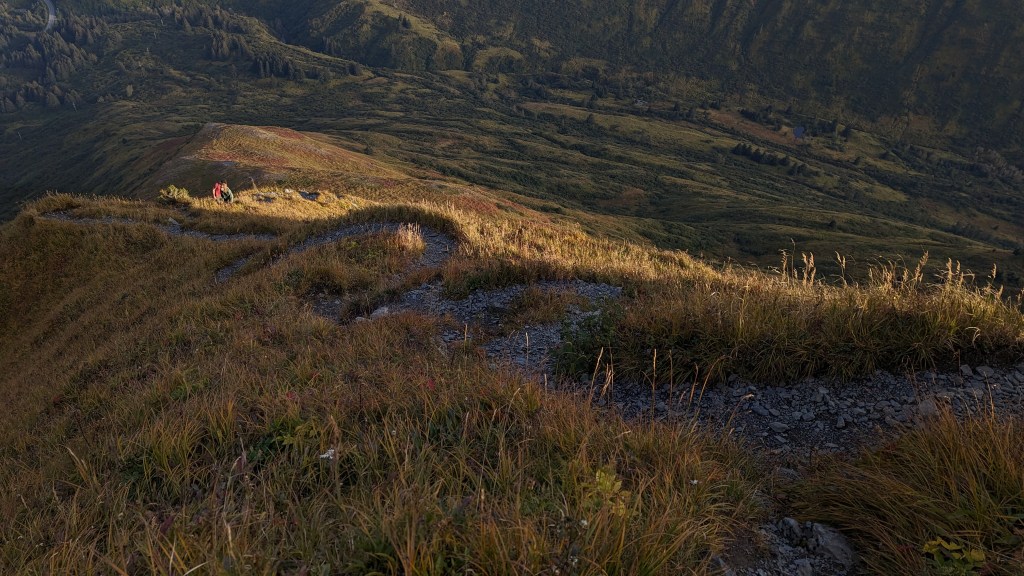
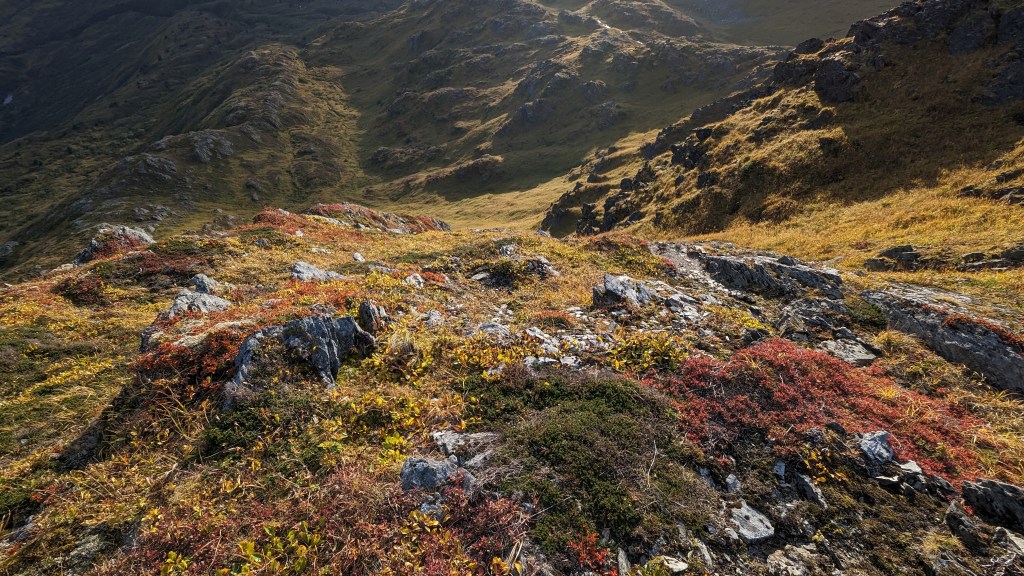
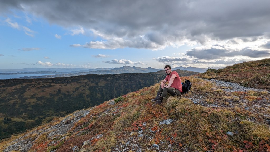
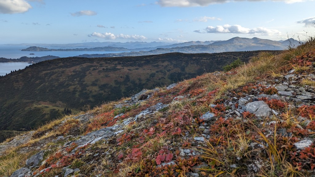
The trailhead is located opposite the pull off just after the airport runway. While on the hike, fall was in full swing! Beautiful red, orange, yellow, and lime green colors covered the mountain. Light clouds could be seen forming on the lee side, creating a mystical feel while looking up the trail. The bottom section of the trail was badly overgrown but still clear to follow. Beautiful inland views of the infinite mountains on Kodiak at the summit. My two friends and I climbed up the very steep trail. It felt like we were climbing to dizzying heights! The airport was in view the whole time until we reached the summit, which was cool but got a bit repetitive after a while. Regardless, awesome hike and I am glad to have checked it off the list.