
Hiking in Kodiak
This is your home base for learning about hiking in Kodiak! On this page there are two maps of hikes and places in Kodiak and two tables creating an overview of hikes featured on this website. Click on the title of the hike in the table to check out the corresponding page.
Scroll to bottom to see overview table of hikes and stats (incl. mileage and elevation).

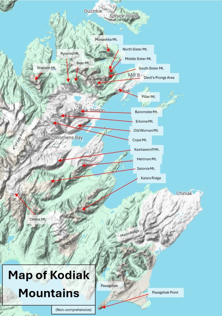
Enjoy these detailed, but not comprehensive, list of trails and mountains around the City of Kodiak. Please use this as a reference to better understand locations and places while researching your next adventures!

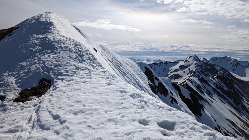
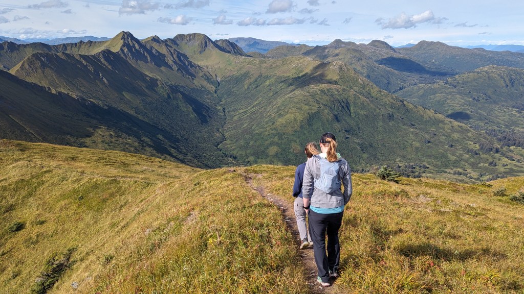
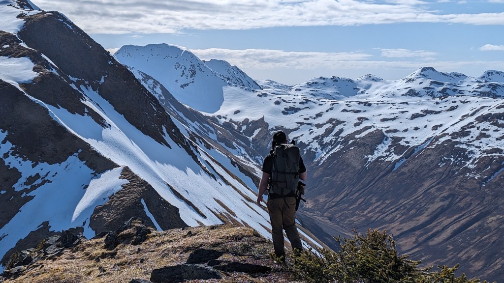
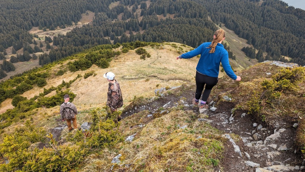
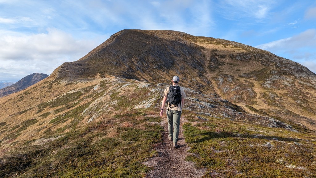
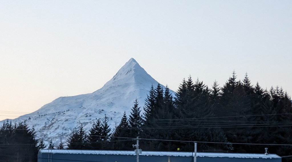
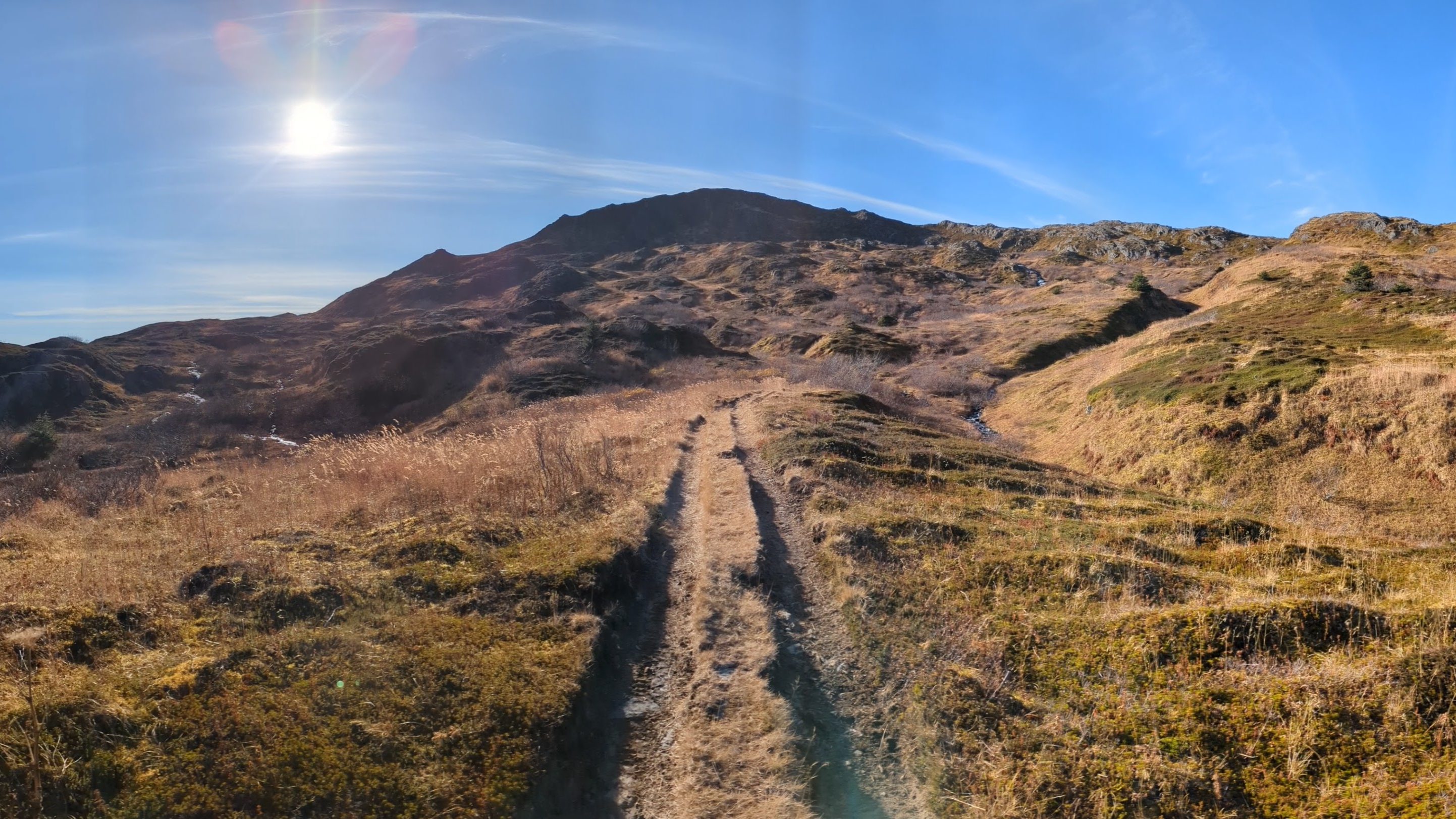
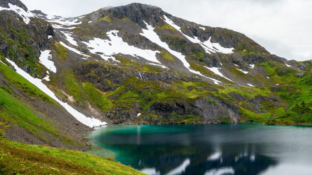
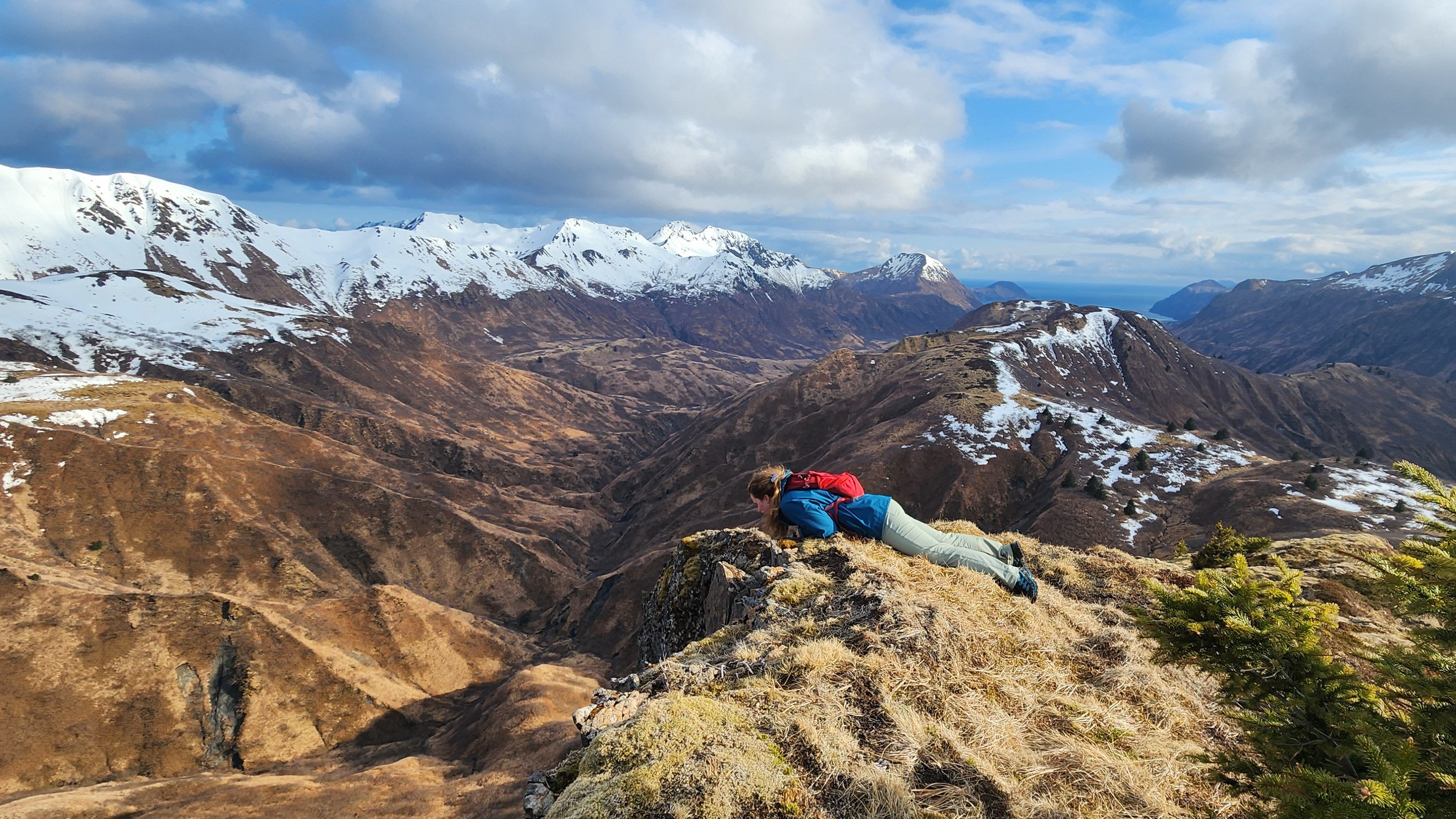
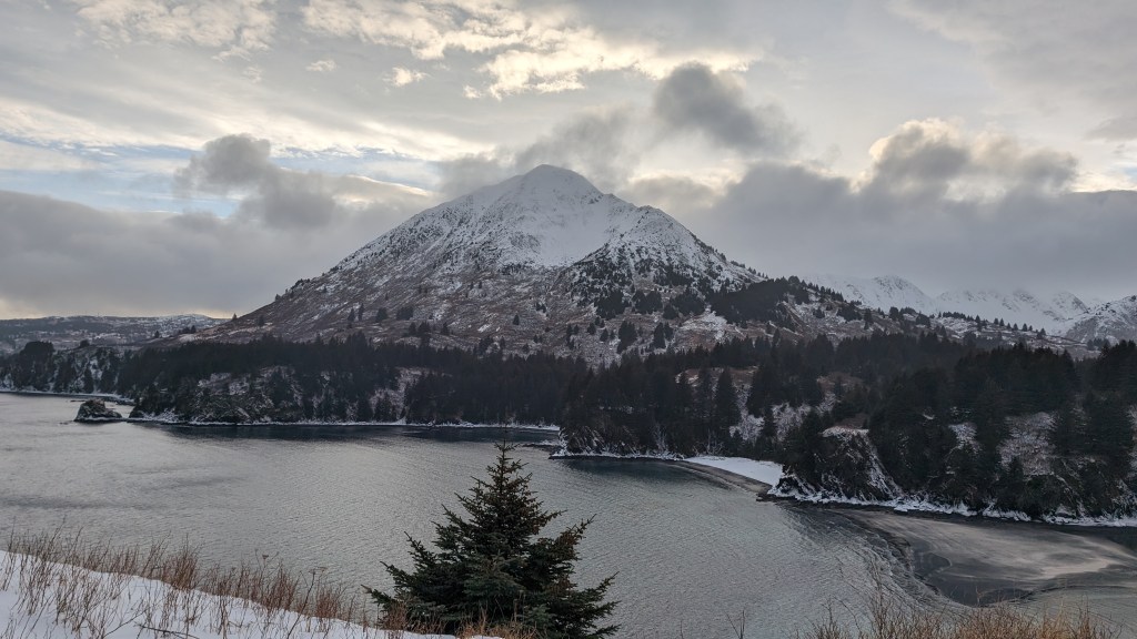
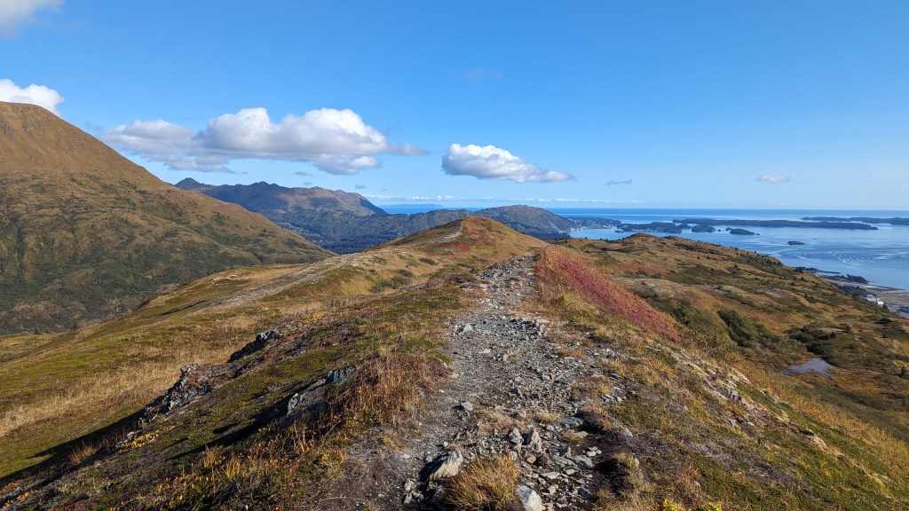
Photos are links to each page-> For better viewing on mobile, turn phone sideways


Overview Tables:
More Difficult Hikes – in approx. order of difficulty
| Name | Difficulty | Distance (miles) | Elevation (feet) |
| Devil’s Prongs | Extra Hard | 6.5 | 2771 |
| South Sister Mt. | Extra Hard | 4.91 | 3501 |
| Sharatin Mt. | Hard | 9.45 | 3460 |
| Barometer Mt. | Hard | 3.2 | 2400 |
| North Sister Mt. | Hard | 3.63 | 1824 |
| Middle Sister Mt. | Hard | 3.71 | 2121 |
| Monashka Mt. | Hard | 3.58 | 2522 |
| Heitman Mt. | Hard | 3.88 | 2275 |
| Pyramid Mt. | Hard | 3.19 | 1756 |
| Kashevaroff Mt. | Hard | 7.3 | 2355 |
| Shelly Lake | Hard – Moderate | 8.49 | 2924 |
| Marin Ridge | Moderate | 3.76 | 1830 |
| Termination point | Moderate | ~5 | 1525 |
| Old Woman Mt. | Moderate | 4.85 | 1258 |
| Pillar Mt. | Moderate | 3.88 | 1040 |
Easier Hikes – in approx. order of difficulty
| Name | Difficulty | Distance (Miles) | Elevation (feet) |
| Russian Ridge | Easy | 4.4 | 1257 |
| Bench Trail | Easy | 3.5 | 538 |
| Fort Abercrombie | Easy | 1.71 | 562 |
| South End Trail | Easy | 1.8 | 528 |
| Spruce Cape | Easy | 1.68 | 258 |
| Boy Scout Beach | Easy | 1.38 | 285 |
| North End Trail | Easy | 1.27 | 166 |
| Nyman Peninsula | Very Easy | 1.15 | 41 |
| Ugak Memorial | Very Easy | 0.15 | 160 |
| Jewel Beach | Very Easy | 0.95 | 15 |
| Sometimes Island | Very Easy | *coming soon | *coming soon |
| Buskin River Walk | Very Easy | *coming soon | *coming soon |

